How does GPS Tracking Work?
Let’s start with the basics
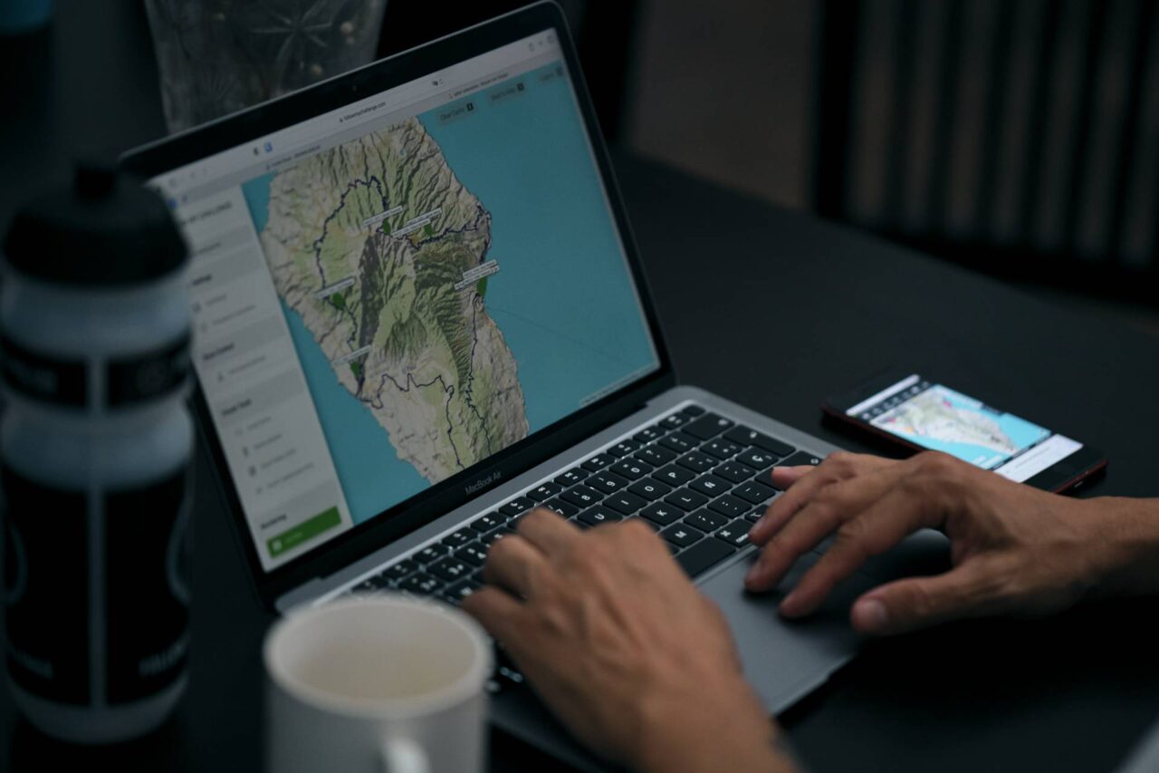
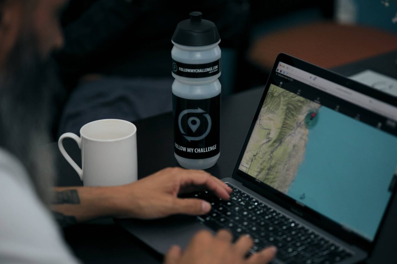
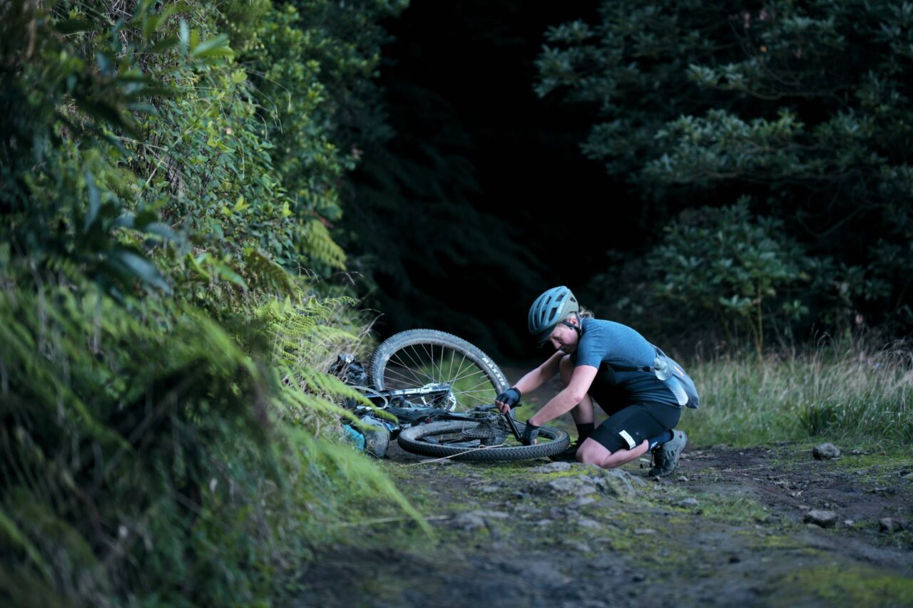
GPS tracking is very simple. Each participant in an event takes a physical tracker with them when they begin. This tracker transmits their location to our platform, usually at an interval of five minutes or less. Their location is then displayed on a dedicated map, alongside the locations of anyone else participating.
Normally, we provide these GPS trackers from our fleet, delivering them to organisers for them to distribute. But we can also work with individuals directly, or load personal trackers to our map (typically SPOT or Garmin inReach devices).
What is the Process ?
Scroll through the timeline below to understand how the process works for organisers
How is our Tracking Different?
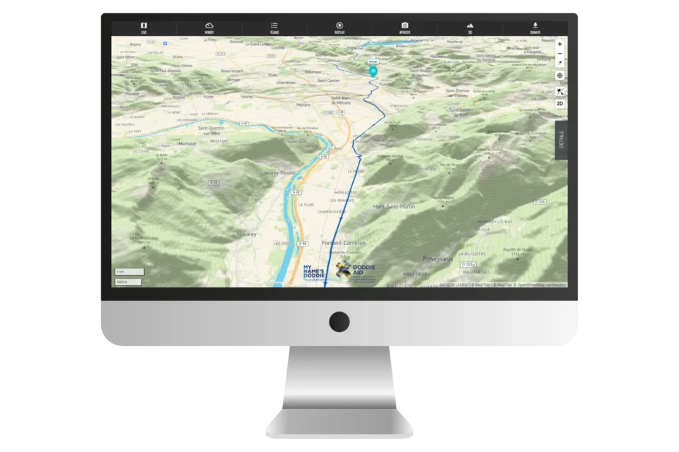
With no tiered pricing, everything you see on our platform is included as standard. Our maps are rich in features and constantly being developed based on user feedback.
Our platform prioritises experience, performance and accuracy ahead of cost. This means we use premium mapping layers and plugins. Despite this, our prices remain extremely competitive and – we believe – they offer the best value you will find.
Take a DEEP DIVE
For a quick overview of what our platform offers and what is included as standard, scroll down to see the key features.
Or for a more detailed deep dive into what it can do, click through for a walk through, including key screens for dotwatchers and organisers alike.
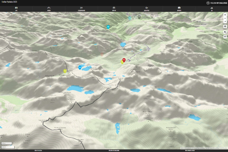
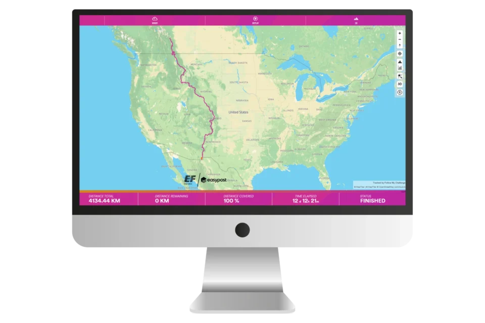
Our Platform Features
With no tiered pricing, everything you see is included as standard
We’re always developing new features or improving current ones. To see what we’ve been up to recently, check out our update page.
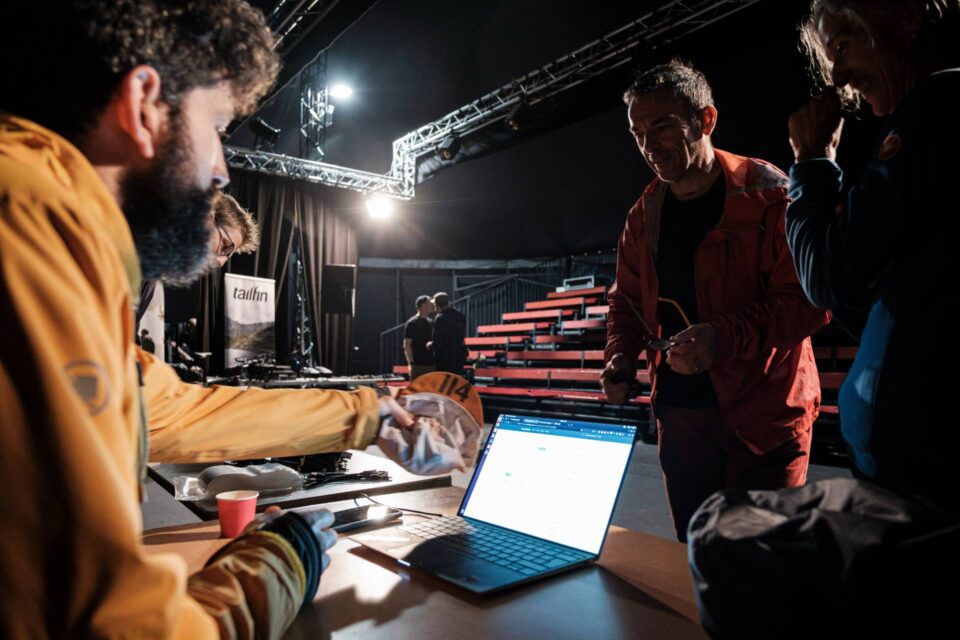
Support As Standard
Our tracking platform is versatile and powerful, built on premium software and hardware. But in the end there are some things that just need a human touch. We’re always on hand to provide support for all our clients, regardless of size.
And for larger events, we set up dedicated WhatsApp groups to enable us to respond quickly, even out of hours. Our team organise several events themselves, so we understand the need for everything to run smoothly.
Have your Own Trackers?
Although we maintain our own fleet of thousands of trackers, we’re also happy to offer a mapping-only solution for events and individuals with their own trackers.
Our maps work with both SPOT and Garmin inReach trackers, so all we need is your public feed(s) and the ESN/IMEI for device(s). Contact us for information on pricing.
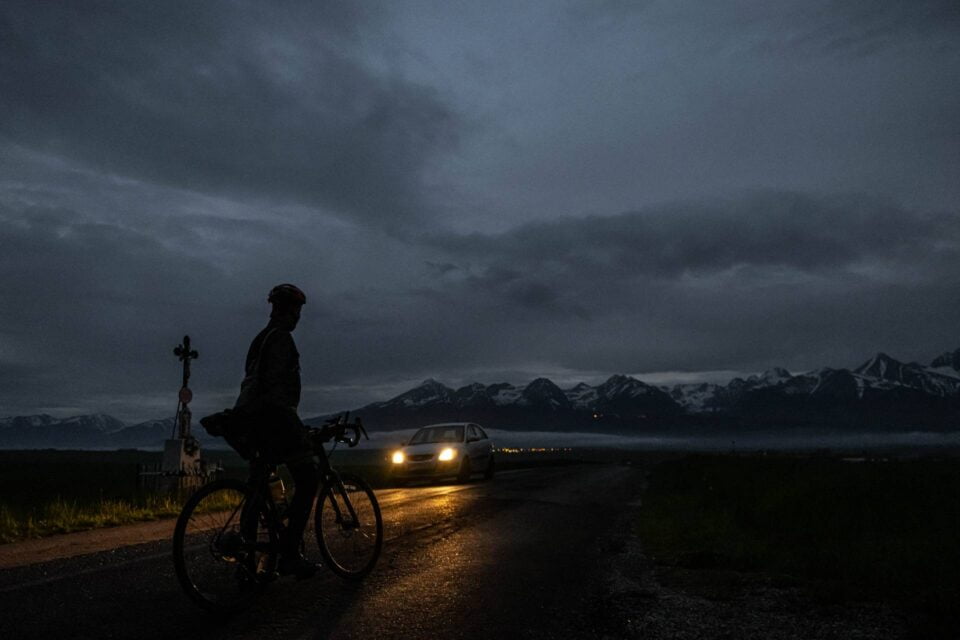
Heading out Solo?
Don’t worry, we work with individuals as well as organisers. If you’re looking to track your next charity challenge or record-breaking adventure, then we can help.
Live GPS tracking is a great way to drive engagement and publicise what you’re doing. Our maps are perfect for this, with the ability to add sponsor logos, link to fundraising pages and embed Instagram feeds.
Custom Maps
Looking for something unique? We also offer customised tracking maps tailored to your needs. Whether that means a different aesthetic, extra features or event-specific metrics, we can develop a map that works for you.
Feel free to reach out so we can talk about the possibilities.
Integrations
As our platform has grown, we have developed several custom integrations. We don’t currently have a public API, but we’re always open to the idea of integrating with third-party services to offer greater functionality.
Examples of previous integrations include manual checkpoint timings via a third-party web app and live rankings published to an external site. We’re also currently exploring integrating with chip-timing solutions.