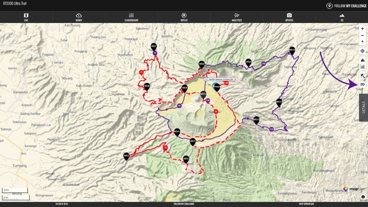
The main map has been enhanced! By the click of a button, the map tilts and converts from 2D into a fully interactive 3D vector map. Dotwatchers will now get a better understanding of the terrain covered by the participants.
This feature works great on both desktop as on mobile, with the default map, satellite as well as Open Street Map layers. To enable the 3D view, use the button on the right hand side, just above the details tab.