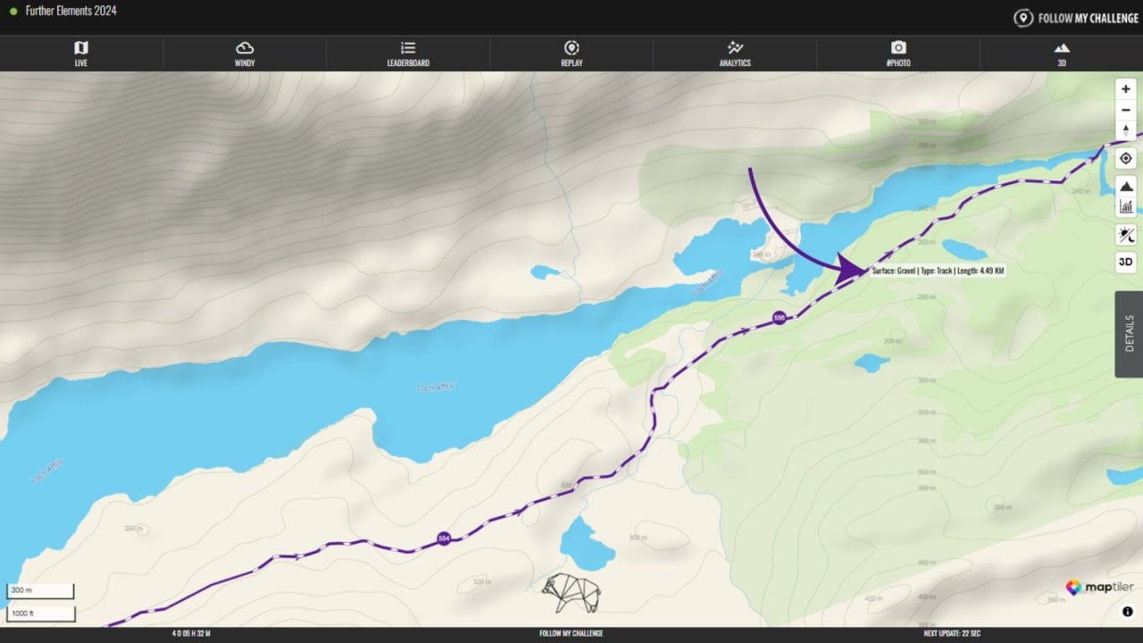
All fixed route maps now have the option to display surface data by default, which is ideal for mixed-surface and off-road events. Our custom-built surface detection algorithm uses OpenStreetMap (OSM) data to ascertain the surface type of every point along a preloaded route, falling back on best-guess deduction from other fields when surface data isn’t submitted. The resulting dataset allows us to display the various surfaces as a visual overlay – where unpaved sections are shown as dashed.
As this algorithm relies on the quality of the OSM data provided (surface data is limited), its accuracy varies across different regions, but our testing has shown it to be >90% accurate in Western Europe.