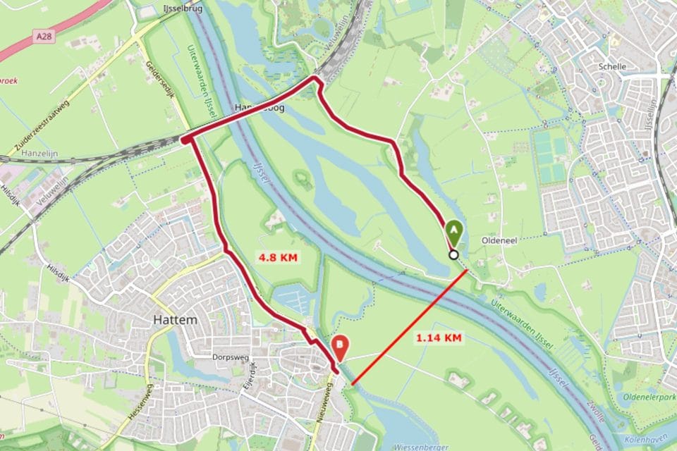
You can now open a Google Maps Street View directly from a participant’s track by clicking on a waypoint and then clicking on the “Streetview” button. This will open Street View of that location in a new tab, if data exists. This is ideal for free route events, where participants’ success may be partly dependent on their choice of roads.
Street view Feature Added

Want to Learn more?
Visit our support site to explore what our maps can do and discover new features.